Abstract
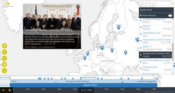
HistoGlobe is an interactive historical geographic information system (HGIS) that provides students with gathered and curated historical information for self-study and aids teachers during history classes. The system visually integrates temporal and spatial aspects of historical events, as well as affiliations and alliances of states, routes of historic people and groups, and finally, detailed multimedia information. HistoGlobe relies on familiar interfaces such as globes and timelines but augments them with new techniques including directly manipulable moving entities such as troops and a direction-preserving presentation of treaties and other collaborations based on routing lenses. A field study with 12th graders revealed an overall solid usability of the system and inspired the development of further features.
- Kossatz, M., Utzig, S., Schneegans, S., Lauer F., Westphal, T., Geelhaar, J., Froehlich, B., Riehmann, P.
HistoGlobe: Teaching History Visually
In Proceedings of the 12th International Joint Conference on Computer Vision, Imaging and Computer Graphics Theory and Applications - Volume 3: IVAPP, (VISIGRAPP 2017) ISBN 978-989-758-228-8, pp. 201-208.
[preprint, video]