
The air-conditioned geodetic measurement laboratory is approx. 30 m x 3.5 m. It is located at Coudraystraße 9.
Laboratory equipment
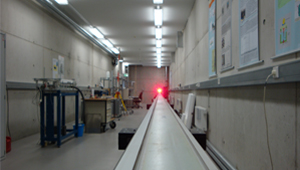
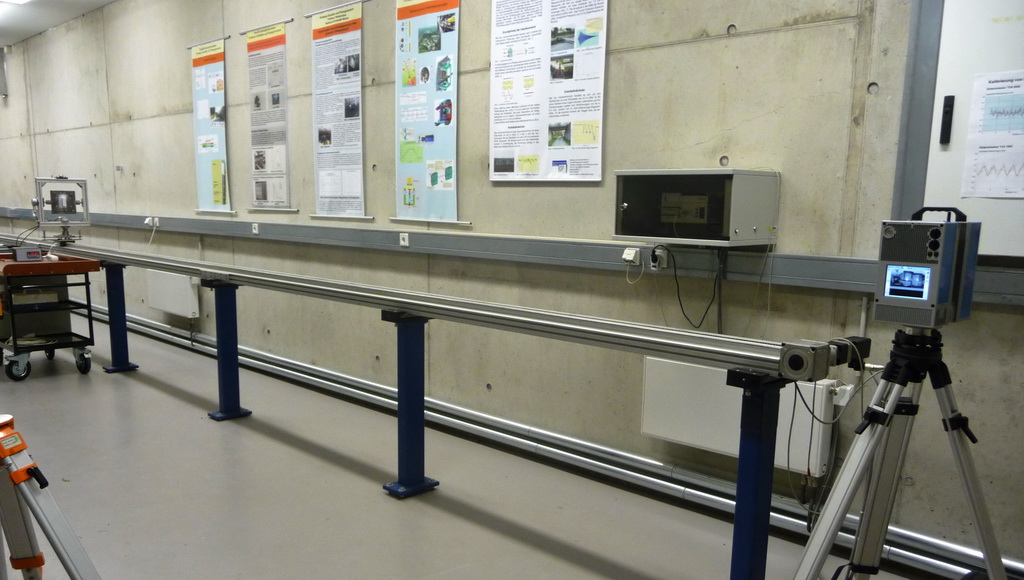
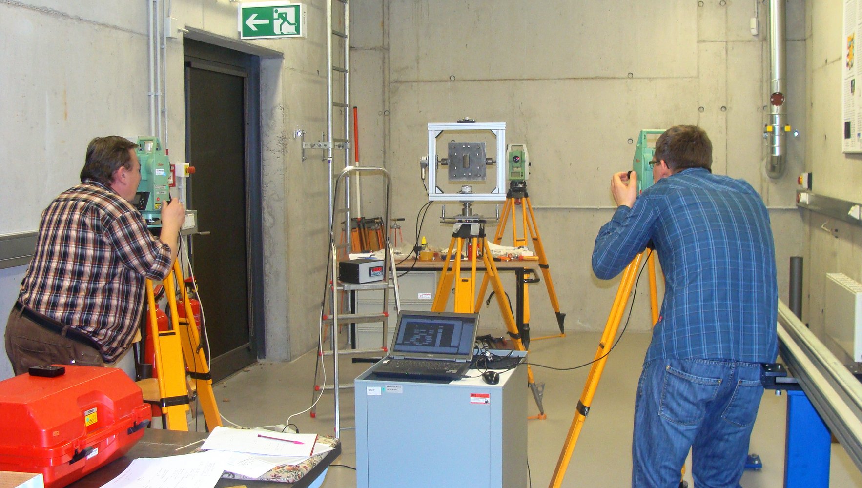
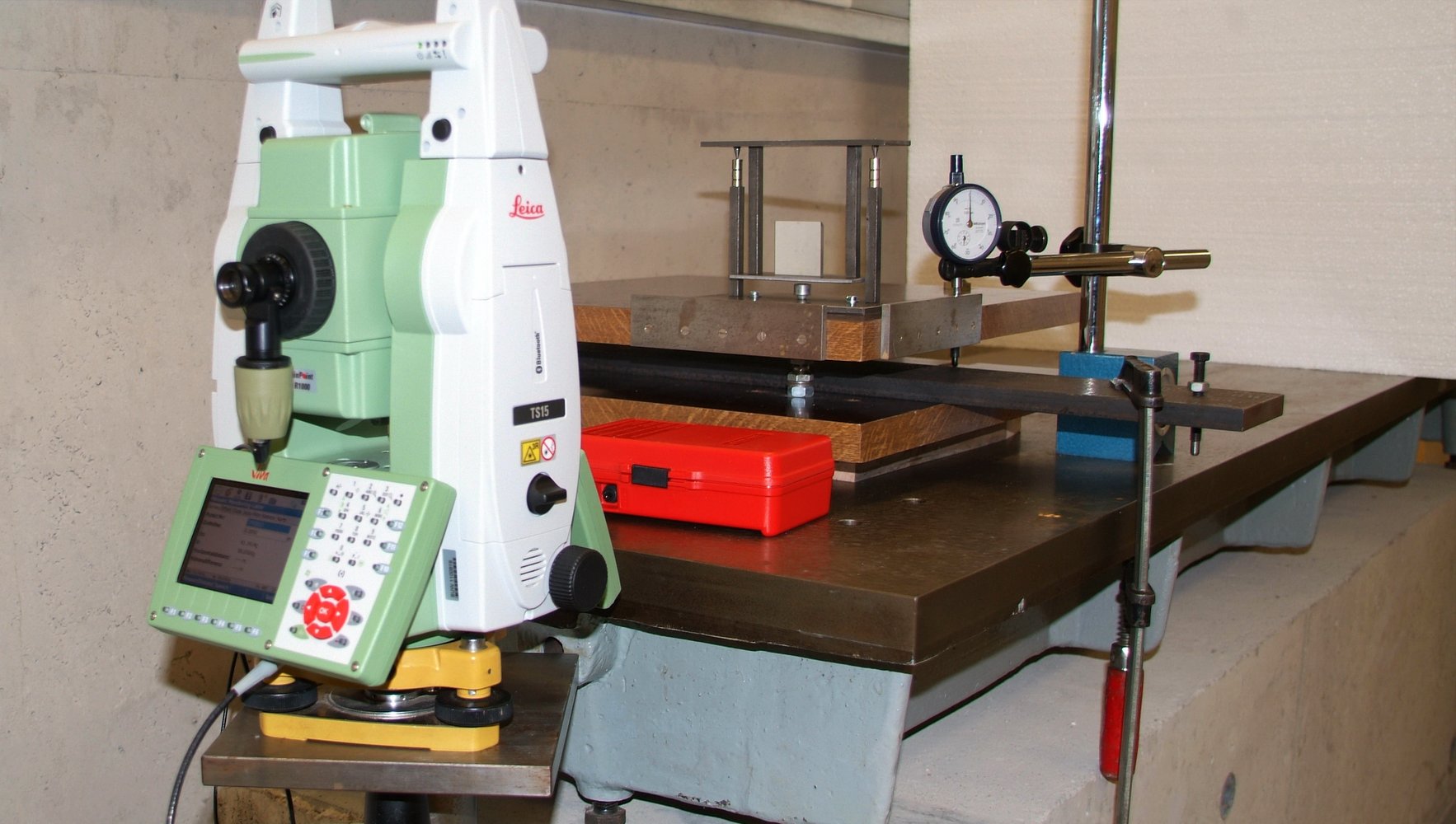
The geodetic measurement lab contains a 26-metre measuring track onto which a mobile instrumented sled is installed. A computer system controls the movement of the sled, which allows its relative movements to be predefined and precisely measured with a laser interferometer. This enables researchers to calibrate various geodetic measuring instruments and carry out a number of measurement-related testing situations for research purposes, e.g. photogrammetric and laser scanning based experiments. In addition to other testing stations with steel and granite slabs attached to concrete bases, the laboratory is also equipped with measuring probes (for path measurement), digital multimeters (for measuring electrical current, voltage and temperature) and frequency counters.
An 8-m tall shaft at the end of the laboratory is also available for special testing situations.
The following list represents an extract of the available measuring devices:
- terrestrial 3D laser scanners (Z+F IMAGER 5016 and 5010)
- 3D close range scanner VIALUX zSnapper
- electronic total stations and multistations (Leica Nova MS60, Leica TS15, Zeiss S10, ...)
- mechanical and electronic levels (Leica Sprinter 150M, Ni 020A, Zeiss DiNi 10, ...)
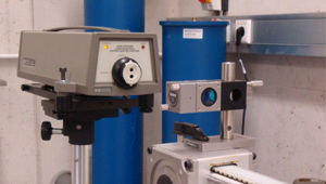
- laser interferometer system HP 5529A (linear and straightness measurement)
- electronic inclination sensors (Leica Nivel 20, Wyler Zerotronic 3)
- lenght gauges, digital multimeters, frequency counters, ...