

Information Visualization
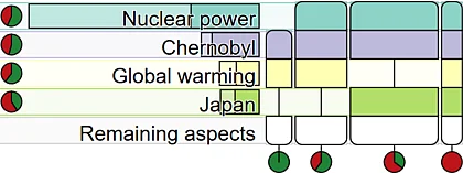
Burger Charts: A Quantitative Display of Set Intersections
A new technique to visualize datasets with many binary attributes, that encode the existence of a property, like keyword occurrences.
[more details]
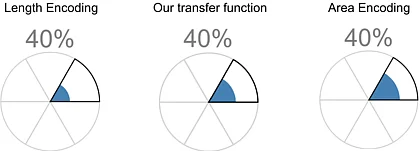
Rose Charts: Area or Length Encoding for Fill Level of Circle Sectors?
A perception study that reveals the perception mechanism for judging values from fill levels in circle sectors.
[more details]
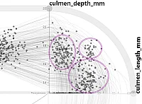
Smooth Transitions Between Parallel Coordinates and Scatter Plots via Polycurve Star Plots
A new technique for seamlessly transitioning between parallel coordinate plots and scatter plots, a description of polycurve star plots and a geometrically motivated method to embed scatter points from a scatter plot into star plots and parallel coordinate plots.
[more details]
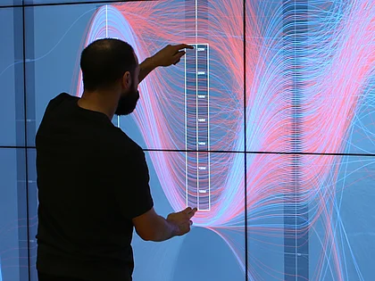
Multitouch Interaction with Parallel Coordinates on Large Vertical Displays
A multitouch vocabulary for interacting with parallel coordinates plots on wall-sized displays beyond arms' reach.
[more details]
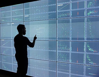
Short-Contact Touch-Manipulation of Scatterplot Matrices on Wall Display
A short-contact multitouch vocabulary for interacting with scatterplot matrices (SPLOMs) on wall-sized displays.
[more details]
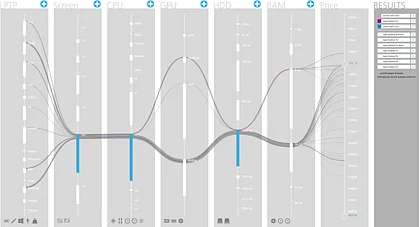
Configuration Finder: A Tidy Visual Interface for Effective Faceted Search
An interactive visualization aiding users in making informed decisions about large product data sets consisting of quantitative and categorical attributes.
[more details]
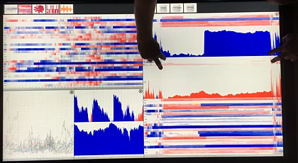
Touch the Time
Direct-touch centered paradigms for exploring time series data visualized in a coordinated multi-view display.
[more details]
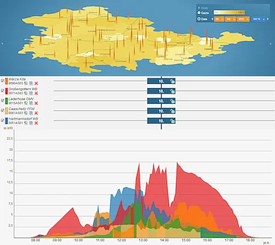
Visual Monitoring of Photovoltaic Systems
A scalable visual analytics framework for managing and analyzing multi-variate time-series data of hundreds of geographically distributed photovoltaic systems.
[more details]
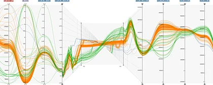
Time-Series Plots Integrated in Parallel-Coordinates Displays
A natural and seamless extension of two-dimensional parallel-coordinates plots for revealing relationships in time-dependent multi-attribute data by building on the idea that time can be considered as the third dimension.
[more details]
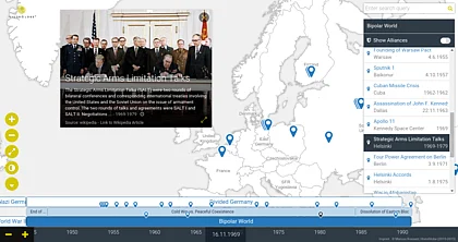
HistoGlobe: Teaching History Visually
HistoGlobe is an interactive historical geographic information system (HGIS) that provides students with gathered and curated historical information for self-study and aids teachers during history classes.
[more details]
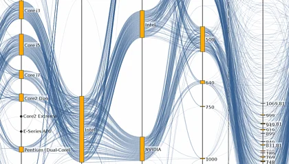
The Product Explorer: Decision Making with Ease
An interactive parallel coordinates display for facilitating the selection process of products with many attributes. Users can quickly narrow down the product search to a small subset or even a single product by using our visual query interface.
[more details]
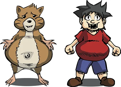
Visualizing Food Ingredients for Kids by Utilizing Glyph-Based Characters
A system for visualizing food ingredients with a glyph-based approach aimed at children between the ages of four and eight, approximately.
[more details]
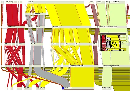
Interactive Sankey Diagrams
A system that allows users to interactively explore complex flow scenarios represented as Sankey diagrams.
[more details]

The i-Disc
A tool to interactively visualize and explore medium sized topic maps.
[more details]