Urban Landscapes - mapping approach within large scale planning processes
Project information
submitted by
Atidh Jonas Langbein
Co-Authors
Begüm Kocabalkanli, Bipin Niraula, Charlotte Waitz von Eschen, Florian Hesse, Franziska Beck, Freke Schrikkema, Lisa Pontén, Manuel Magenau, Mariam Kunchuliya, Matilde Nanni, Mehmet Burak Yurtcu, Nina Gribling, Olga Suslova, Paul Grünler, Shiao-Ying Hsu
Mentors
Dr.-Ing. Maria Frölich-Kulik, M.Sc. (ir.) Atidh Jonas Langbein
Degree programme:
European Urban Studies (englischsprachig) (Master of Science (M.Sc.))
Links
https://www.uni-weimar.de/de/arc...
https://www.uni-weimar.de/de/arc...
Project description
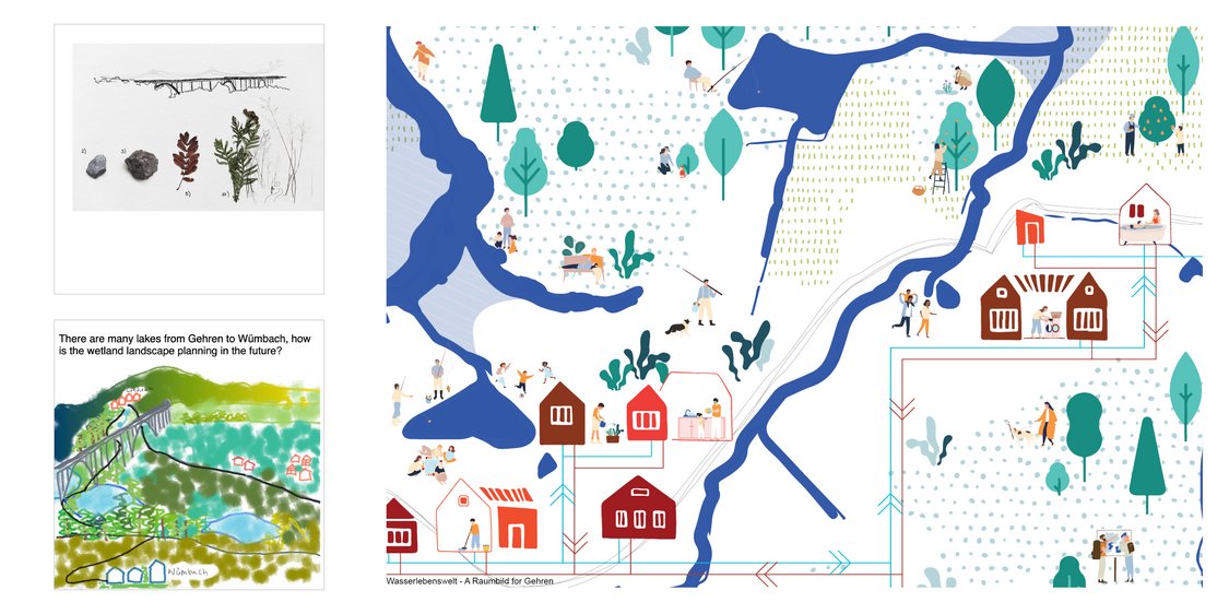
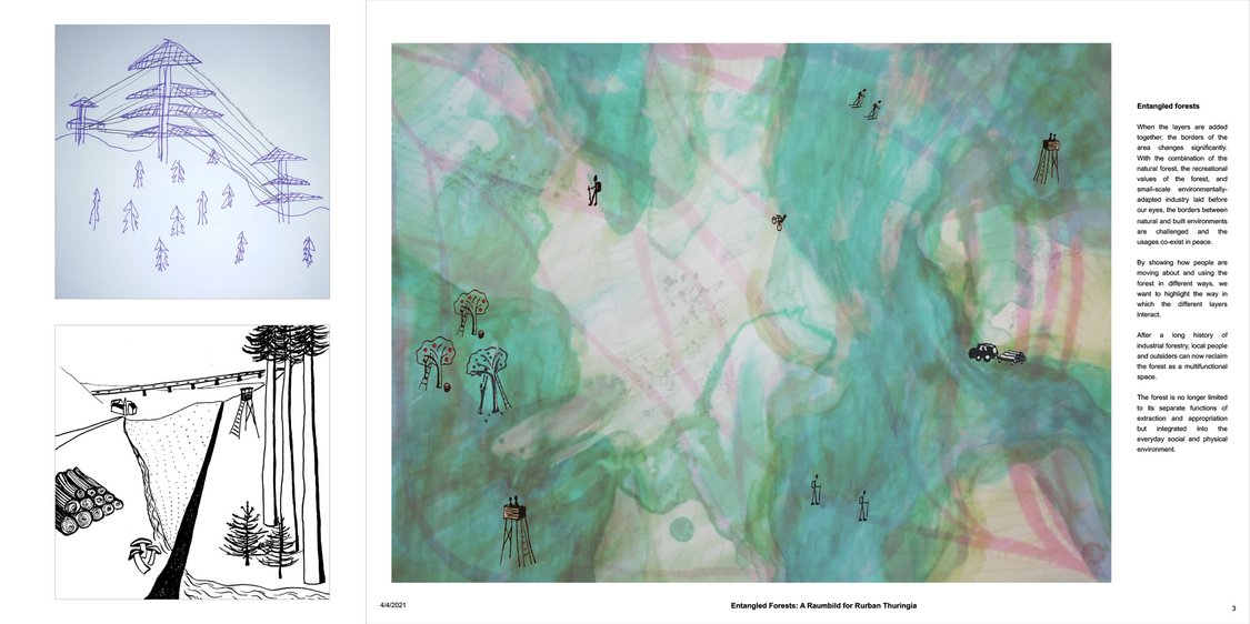
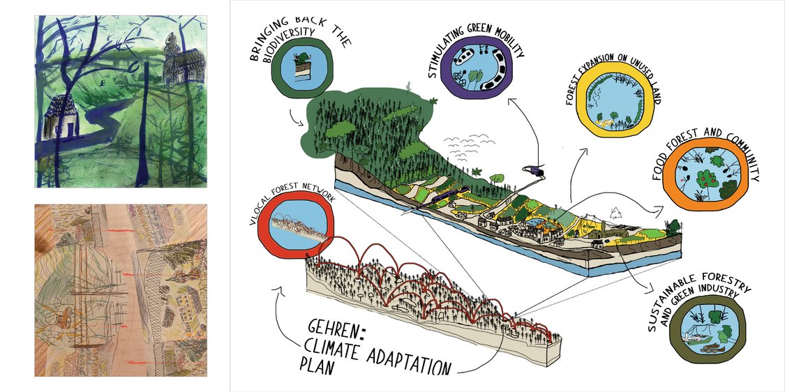
The seminar "Urban Landscapes - mapping approach within large scale planning processes" deals with the "Raumbild" as an informal spatial planning instrument in large-scale and regional contexts. "Raumbilder" are images based on cartographic methods, revealing complex interrelations, networks of actors and processes of change within a region with the goal of describing possible futures for regional developments.
In particularly the students looked at the rurban landscape of Gehren, a small town at the foot of the Thüringer Wald mountain ridge. After a first impromtu spatial image of Gehren and its surrounding, the students analysed reference Raumbilder from applied planning processes. Both this theoretical and practical reflections were joined in the final production of Raumbilder for Gehren in which the students opened new viewpoints and creative future scenarios for rural Thuringia.


